Coastal Engineering and Science

Magryn brings together specialist coastal engineers and in-house coastal scientists to deliver integrated solutions across the full project lifecycle.

From initial coastal adaptation planning advice, process assessment and geomorphological investigation through to protection structure design and construction support, our team works as a single unit rather than a collection of subcontracted specialists.

We work with local councils, state government agencies, developers, and private landowners across South Australia and nationally.

Our approach is grounded in technical rigour, local coastal knowledge, and a practical understanding of what it takes to get projects through planning and to implementation.

Our capabilities include:
Our capabilities

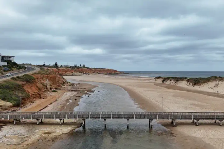
  • Aerial view of a creek mouth crossing a sandy beach, with a footbridge and red coastal cliffs

    Coastal Process and Geomorphology Assessment

    The logical starting point for most coastal commissions. Covers wave climate, tidal range, sediment type and transport pathways, longshore drift, dune morphodynamics, and historical shoreline behaviour.

    Investigation tools include hydrographic survey, sediment sampling, current measurement, aerial photo analysis, and geomorphological field assessment.

    Outputs underpin all subsequent hazard assessment, modelling, and design work.

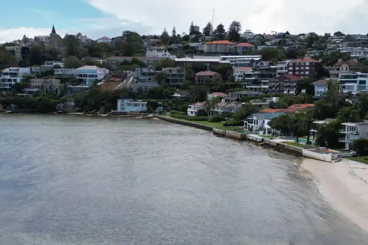
  • Aerial view of houses above a harbour foreshore lined with seawalls

    Coastal Hazard and Erosion Assessment

    We assess exposure to coastal erosion, recession, storm inundation, and flooding using the hazard/risk framework consistent with SA's CHAP (Coastal Hazard Adaptation Planning) Guidelines and Coastal Protection Board Policy.

    Assessments cover historical erosion trends, storm surge, wave-driven water levels, and sea-level rise projections across short, medium, and long-term planning horizons.

    Outputs include inundation mapping, hazard delineation, and risk findings structured for development assessment, planning policy, and asset management decisions.

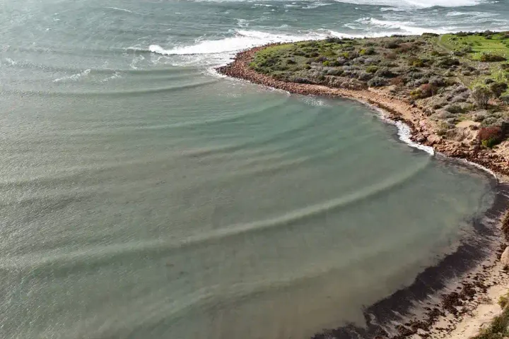
  • Aerial view of waves bending around a low vegetated headland at Bashams Beach, South Australia

    Erosion and Shoreline Change Modelling

    Quantitative modelling of beach and dune response to storm events and long-term sea-level rise, using industry-standard numerical modelling tools.

    Outputs include erosion setback distances, storm bite volumes, and long-term recession rates.

    Commonly used to establish development buffers, inform protection structure design, and support coastal hazard delineation under SA planning policy.

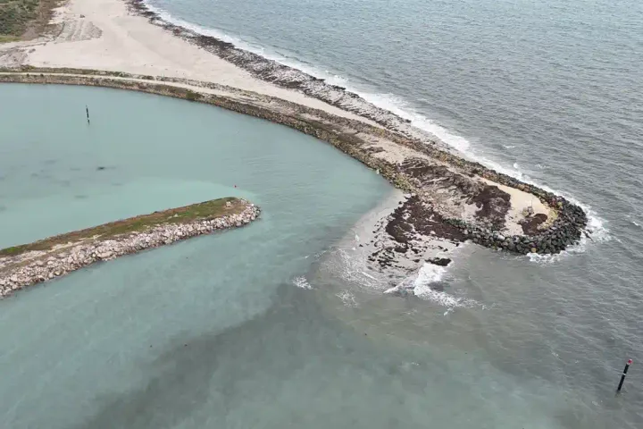
  • Aerial view of the rock breakwaters at the Cape Jaffa marina entrance, with sand built up against the outer arm

    Sediment Transport and Sand Budget Analysis

    Understanding how sand moves through a coastal system is fundamental to managing erosion and avoiding unintended impacts on adjacent beaches.

    We quantify longshore and cross-shore sediment fluxes, identify sediment sources and sinks, and assess how proposed works may affect sand supply to neighbouring shorelines.

    These assessments are commonly required for planning approvals involving beach works, structures, or nourishment schemes.

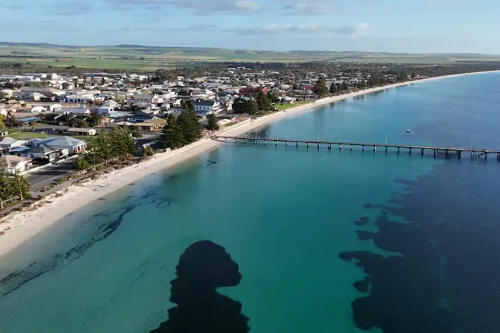
  • Aerial view of the Tumby Bay foreshore and jetty, South Australia

    Coastal Adaptation Planning

    Long-term coastal adaptation goes beyond choosing a protection structure. We work with planners, landscape architects, and community stakeholders to develop adaptation strategies that account for sea-level rise, changing storm frequency, and evolving coastal landforms.

    Our team includes specialists in communicating technical findings to councils, communities, and non-technical decision-makers, which is often as important as the technical work itself.

    Outputs range from options assessments and multi-criteria analyses through to concept reports suitable for grant applications and council decision-making.

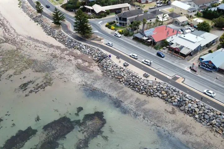
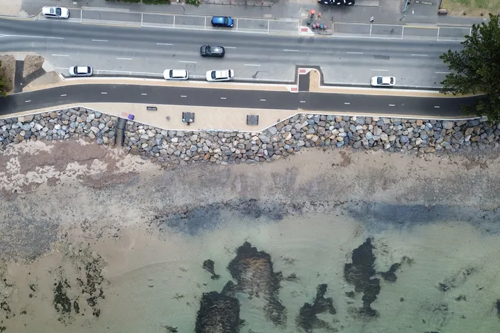
  • Aerial view of the rock revetment between the beach and the esplanade road at Encounter Bay, South Australia

    Coastal Protection Design

    We design coastal protection works to suit the site conditions, risk profile, and budget of each project.

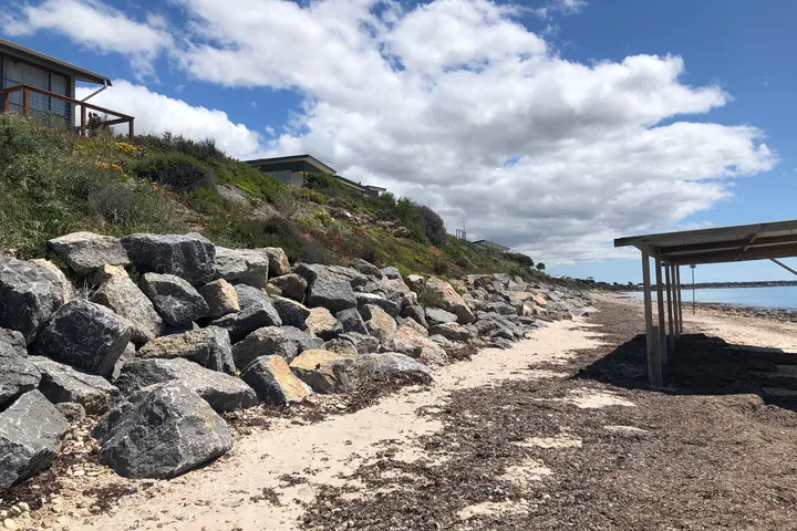
    Options range from traditional hard structures such as rock revetments, seawalls, and breakwaters, through to soft and hybrid approaches including geotextile sand containers, beach nourishment, and living shorelines.

    Where localised sand accretion or erosion is the primary problem, we identify the driving processes and develop targeted rectification designs.

    We prepare construction drawings and specifications suitable for open tender and can provide construction phase support and hold-point inspections.

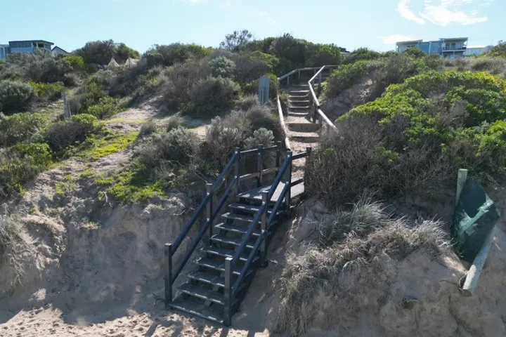
  • Beach access stairs descending through a vegetated dune at Hayborough, South Australia

    Coastal Beach Access Structures

    Beach access structures sit at the intersection of structural engineering and coastal science.

    A stair or ramp in the coastal zone must be designed for wave loads and hydrodynamic forces, but also for a changing beach beneath it.

    Toe erosion can undermine foundations, longshore drift can bury or expose supporting elements, and the structure must work across a realistic range of future beach states, not just today's conditions.

    Our integrated science and engineering approach means erosion envelopes drive foundation depth, wave climate determines load cases, and geomorphological context shapes layout and orientation.

    We have designed beach access stairs and DDA-compliant ramps across South Australia in concrete, timber and FRP.

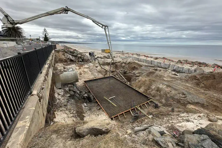
  • Concrete pump boom over reinforcing steel for a stormwater outfall under construction on the beach at Somerton Park, South Australia

    Stormwater Outfall Design

    Stormwater outfalls on beaches are often an underappreciated driver of coastal erosion.

    We design outfalls with long-term coastal processes built into the design from the outset.

    That means locating and orientating the structure to minimise interference with sediment transport, sizing and detailing the outlet to manage scour under a range of discharge and wave conditions, and checking the design against predicted future beach levels rather than today's snapshot.

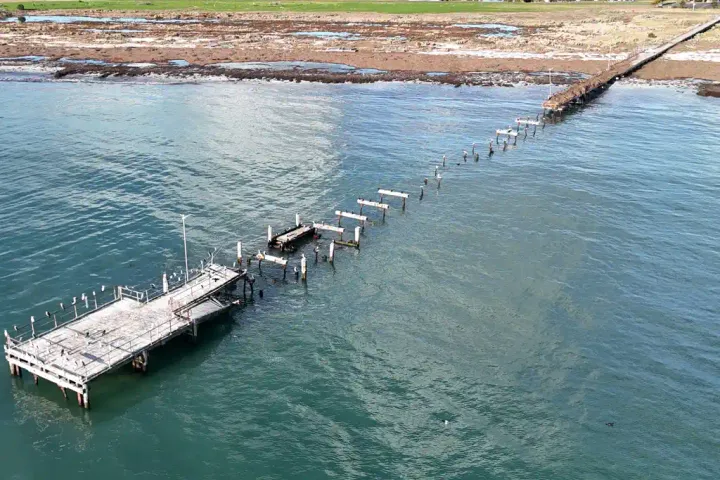
  • Aerial view of the Kingston jetty, with its decking missing along part of its length

    Coastal Structure Inspection and Asset Management

    We carry out condition assessments of coastal protection structures, jetties, wharves, pontoons, boat ramps, and seawalls, above and below the waterline.

    Underwater inspection is undertaken by free diving, professional dive teams, or our in-house underwater drone.

    Inspection findings are reported against the Wharf Structures Condition Assessment framework where applicable, and structured to support maintenance planning, budget forecasting, and asset register updates for council and government asset owners.

Talk to us about this work

Contact us to discuss your project.

Get in touch