
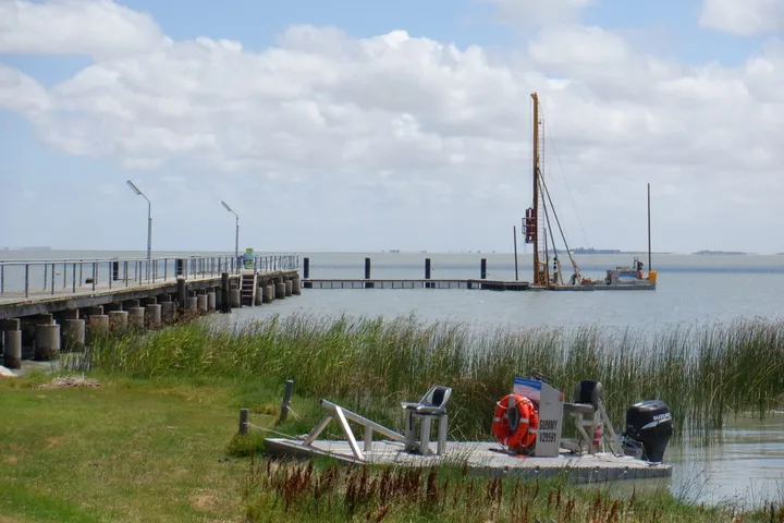
Ports and Maritime
The discipline of ports and maritime engineering has been a key pillar at Magryn since its inception.
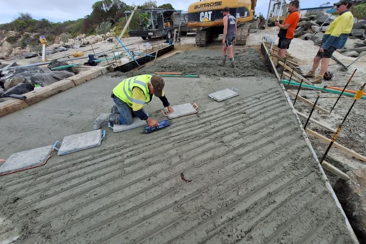
We have undertaken hundreds of boat ramp designs around the coast and rivers of Australia for local governments and private clients, most in South Australia, but also in Victoria and New South Wales.
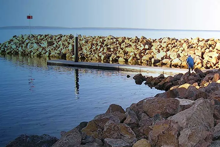
Breakwaters often accompany engineering designs for boat ramps or marinas, and protect moored or landing vessels.
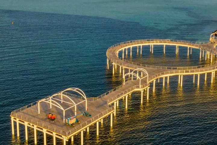
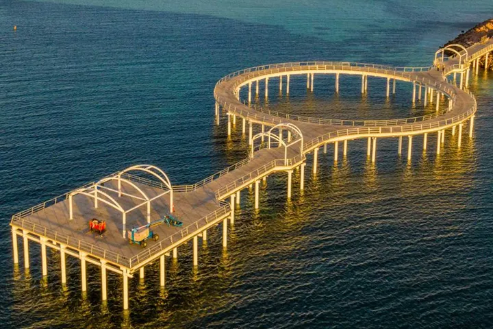
We design coastal-engineered jetties for recreational or commercial use. The design may incorporate a fender design to allow vessels, from small fishing boats to large bulk carriers of 100,000 DWT or more, to berth.
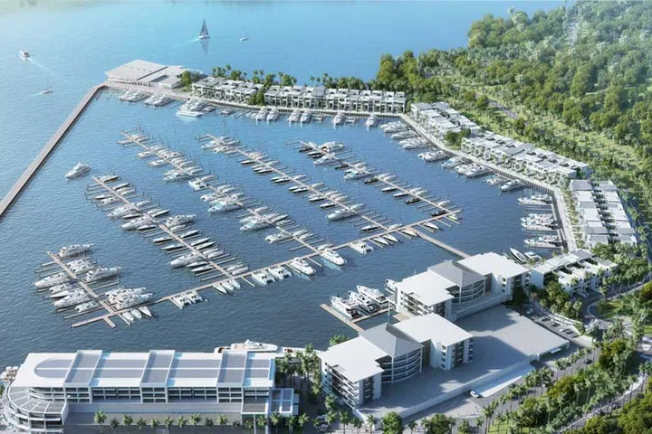
Coastal engineering design for marinas is undertaken in accordance with the Australian Standard AS3962, and covers both the conceptual and detailed design phases for boat mooring at coastal locations and takes into account:
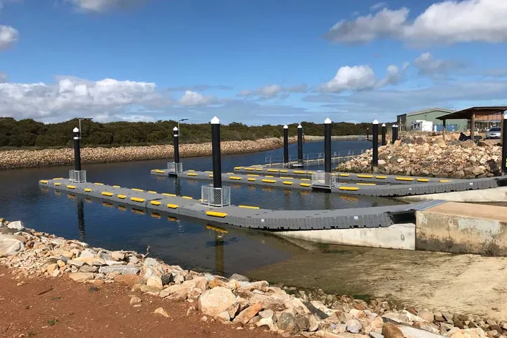
Pontoon facilities in marine and riverine environments, including design of guide piles, gangways and abutments
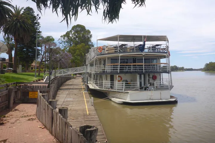
Wharves for large ships (to 100,000 DWT), including ship fendering design generally.
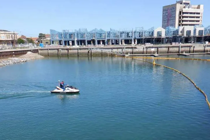
Underwater surveys of the seabed are often undertaken in conjunction with a land survey on the shore. Magryn brings a wealth of experience to the marine survey discipline, with a licensed surveyor and a purpose-modified jet-ski on hand to tackle all required seabed surveys.
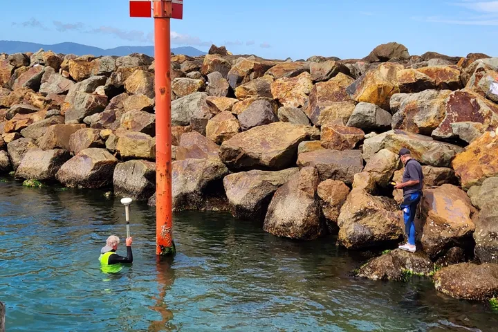
Asset management, including jetty/wharf inspections in accordance with the industry recognised Wharf Structures Condition Assessment manual.
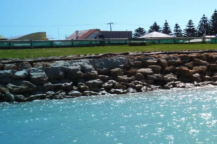
Sand transport, currents, erosion and accretion of beaches and usually employs one or more of the following:
Ports and Maritime
Ports and Maritime