
Tumby Bay Foreshore Coastal Protection Design
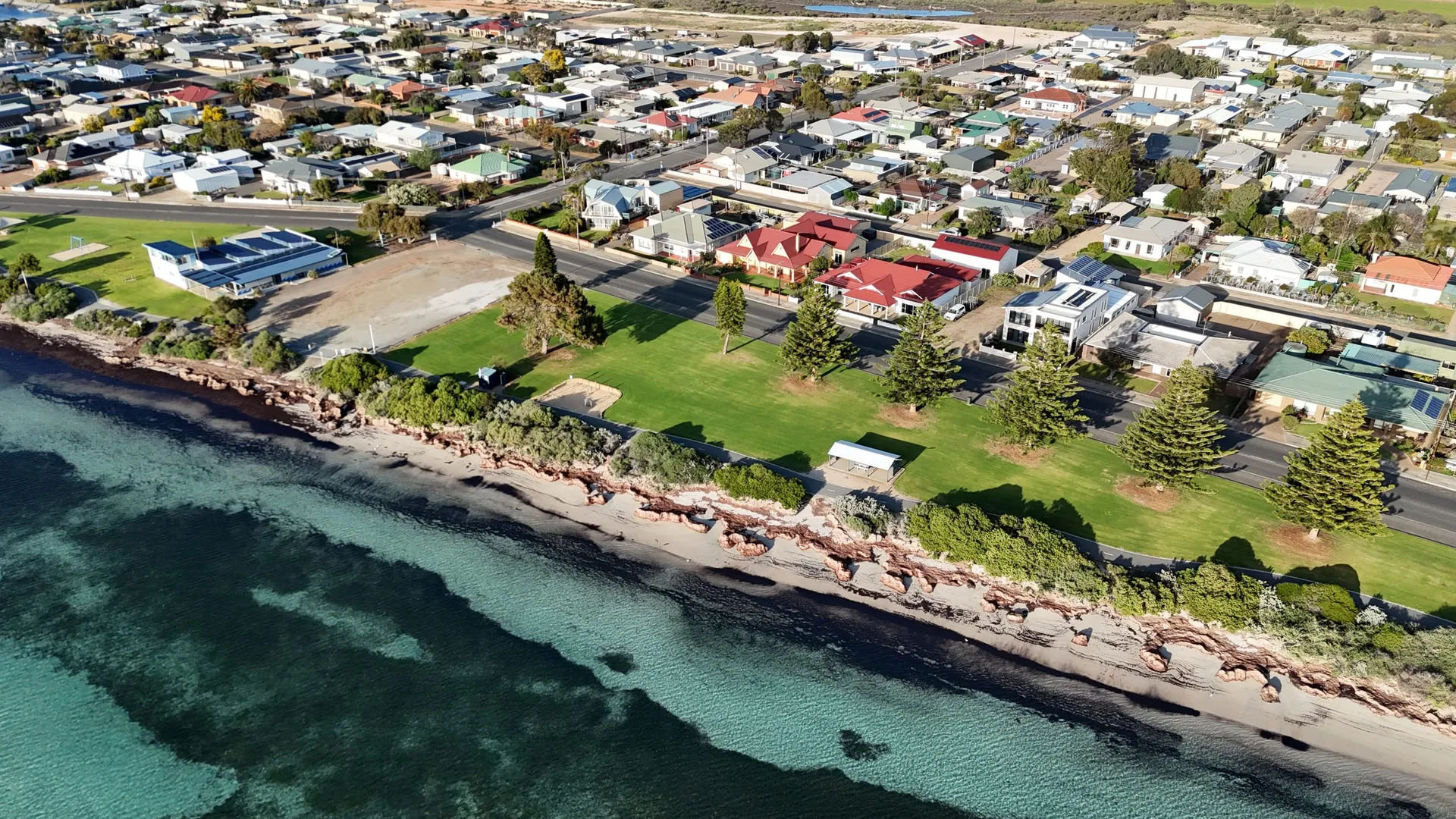
Coastal alignment study and detailed design of a rock revetment, crown wall and flood levee along the Tumby Bay township foreshore on Eyre Peninsula, protecting the town from coastal erosion and storm inundation while keeping the beach open and accessible to the community.
The challenge
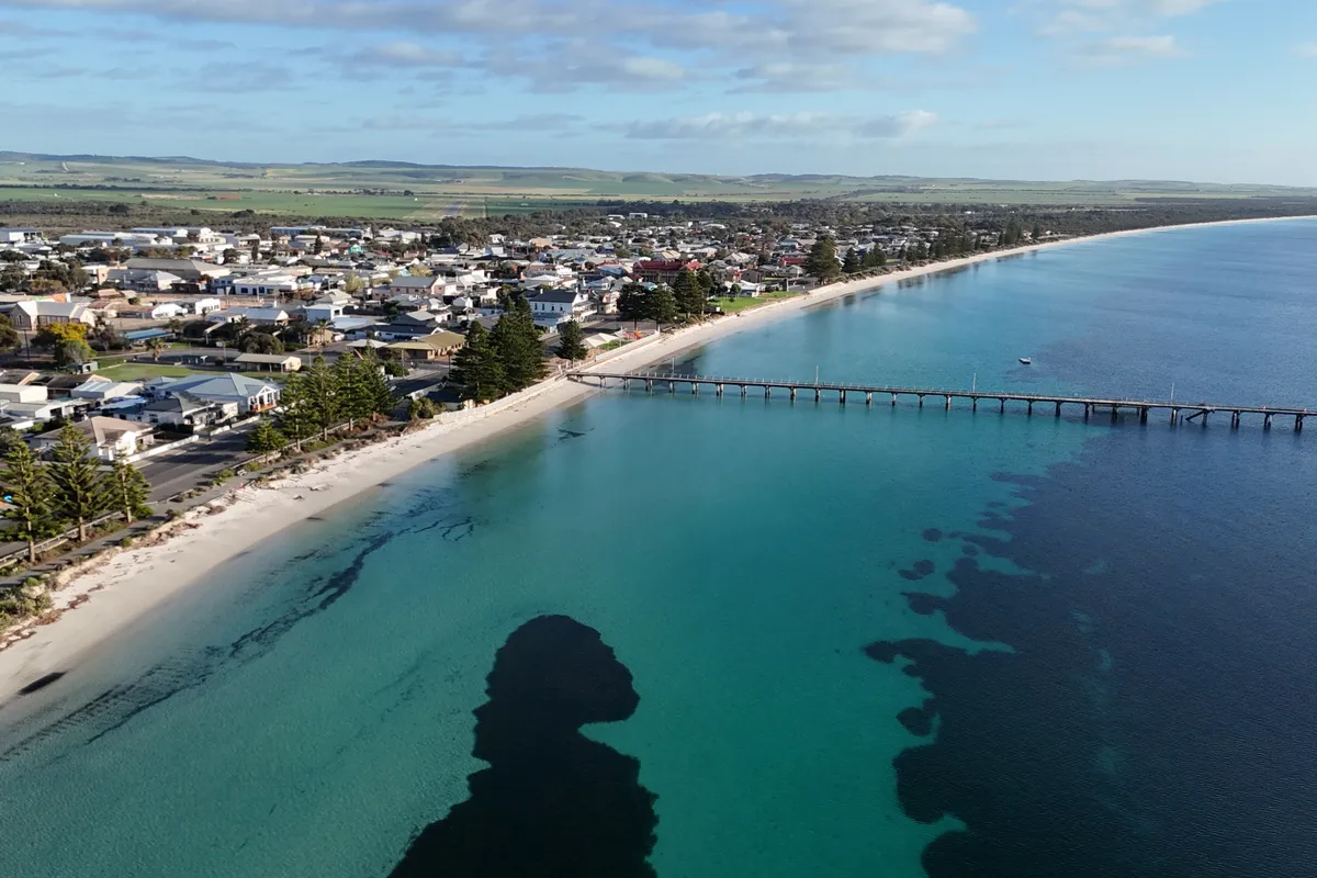
The Tumby Bay foreshore is the centre of town life on the eastern coast of Eyre Peninsula, carrying the jetty, the cafe precinct, parks, playgrounds and the coastal path that links them together. It has also been losing ground for decades. Dunes have scarped back far enough to expose the underlying clay, ageing seawalls through the middle of the township are overtopped during storms, and the lowest lying sections of the foreshore already flood on high storm tides. Three separate erosion and storm surge events during 2025 alone showed how quickly this shoreline can move. The District Council of Tumby Bay engaged Magryn to determine where a new coastal protection structure should sit, and then to design it, balancing long term protection against sea level rise with the beach width, water access and open space the community values.
Our approach
Shifting the line of protection three to four metres landward buys back beach width, but through the township it leaves as little as five metres between the back of the structure and the street. Much of the detailing follows from that constraint. A 1:1.5 revetment slope keeps the footprint tight and holds overtopping down, at the price of heavier primary armour at around two tonnes for the 2075 horizon, and the crest is held to two metres wide so height can be added on top later rather than re-armouring the whole face. The toe does not run as a single line: modelled beach levels for 2100 differ from one end of the bay to the other, so it steps with them, set about 400 millimetres below the predicted beach at each profile and checked against boreholes and dynamic cone penetrometer testing. Above it, a crown wall in marine grade concrete with fibre reinforced polymer reinforcement sits on a heel and toe footing that resists overturning while keeping excavation shallow, in a corridor already carrying paths, services and public open space. Beach access stairs, ramps and the shared path are set into the structure at the locations the community nominated, and the works are staged segment by segment so the foreshore keeps working while it is rebuilt.
The outcome
The design delivers a continuous rock revetment along the township foreshore, with a low crown wall above it and a flood levee behind it where the land sits low enough to inundate. Crest levels come straight from the wave overtopping assessment and suit a 50 year design life to 2075, and the revetment is detailed so armour can be added to raise it as sea levels rise rather than rebuilding the structure. Its toe is founded below the beach level predicted for 2100, so the revetment stays stable as sand draws down in front of it. Along the top, a shared use path replaces the existing coastal path, with beach access stairs, ramps and rest points at the locations the community asked for, including an accessible ramp near the cafe precinct. The District Council of Tumby Bay is left with a foreshore designed to hold its line against coastal erosion and storm inundation for decades, and one that is more usable and better connected than the foreshore it replaces.
Project gallery
Similar work
Talk to us about a similar project, or browse more of our work.