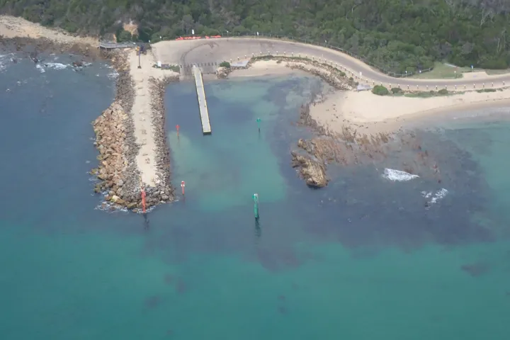
Designing coastal defence structures in populated areas and adjacent roadways requires careful consideration of various coastal processes to ensure long term effectiveness and safety.
Understanding Wave Overtopping
Designing coastal defence structures in populated areas and adjacent roadways requires careful consideration of various coastal processes to ensure long term effectiveness and safety.
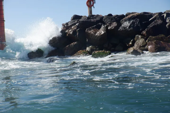
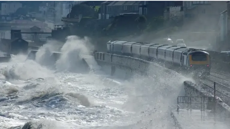
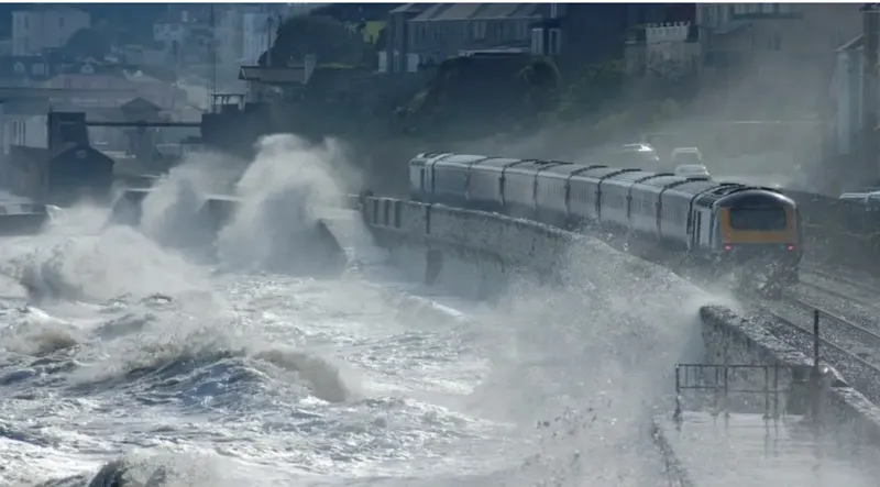
Wave overtopping occurs when waves run up and over the crest of a coastal defence structure, such as a breakwater or seawall. Traditionally, design practices focused on the wave run-up level. However, current best practices prioritise the rate or volume of overtopping discharge, as it provides a more precise measurement of the water flowing over the structure for a particular storm event.
At Magryn, our assessments adhere to the tolerable overtopping limits set forth in the EurOtop Manual on wave overtopping of sea defences and related structures. By following these internationally recognised standards, we ensure that our coastal engineering projects, including the design of seawalls and other critical infrastructure, meet stringent safety and performance criteria.
Importance of Accurate Risk Assessment
Conducting thorough wave overtopping assessments is crucial for several reasons:
Risk Mitigation: By accurately evaluating the wave climate and overtopping potential, we can identify and mitigate hazards to coastal structures and the surrounding areas.
Cost Effectiveness: Ensuring that designs are economically viable without compromising safety.
Aesthetic Considerations: Balancing functional requirements with visual appeal.
Collaboration with Coastal Scientists and Modellers
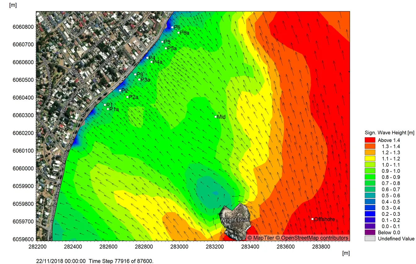
To enhance the accuracy of our assessments, we collaborate with specialist numerical wave modellers. This collaboration allows us to precisely estimate the wave climate (wave height and period) at the shoreline, accounting for refraction and diffraction caused by complex bathymetry and offshore islands.
By incorporating these detailed analyses, we ensure that our designs are based on the most accurate and comprehensive data available.
Sea level rise, driven by climate change, is a critical factor in the design and longevity of coastal infrastructure. We consider future sea level projections to ensure that our structures remain effective and can be upgraded as needed.
Incorporating rigorous wave overtopping assessments, leveraging advanced numerical modelling, and planning for sea level rise are essential components of modern coastal engineering.